
Reviewed · SPAIN NATIONAL PARK TOURS
Hiking experience in the High Sierra Nevada National Park
The best part of this day is the quick change from Granada’s hot streets to the cool, spare world of the High Sierra Nevada. In one morning, you go from Plaza de Mariana Pineda to a trailhead at about 8,200 feet, then walk through a glacial valley toward views of Mulhacén, Veleta, and Alcazaba.
I like the small groups of up to eight and the way guides such as Jaime adjust the pace for the people in front of them. I also like the mix of wild scenery, mountain goats, eagles, snowfields, waterfalls, and Civil War fortifications. The main consideration is simple: this is a real uphill hike at high altitude, not a gentle stroll. Good fitness and proper footwear will make a big difference.
Key points before you book
- You start high: The vehicle climbs to roughly 2,500 meters before you begin walking, so the thin air affects the hike from the first step.
- The route reaches above 3,000 meters: Tajos del Campanario offers views toward some of Spain’s highest peaks, but the final climbs can be steep and tiring.
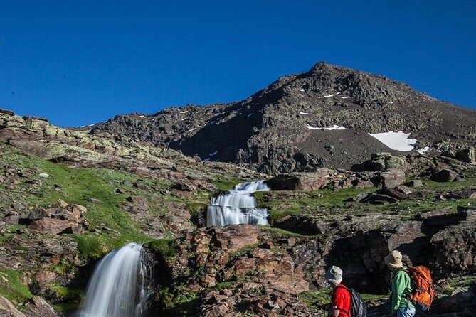
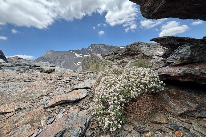
- San Juan Valley is the scenic heart of the day: Expect glacial rock, moving water, flowers, lakes, waterfalls, and open mountain views.
- Guiding is a major part of the experience: Jaime, Buitre, Jesús, and other Sierra Nevada Guides leaders have paced groups carefully and explained local plants, animals, rocks, and mountain history.
- Pack lunch and water: Food and drinks are not included. Bring about 1.5 to 2 liters of water, snacks, and a sandwich.
- Weather can change fast: Bring layers, sun protection, and rain gear. Warm clothes and poles may be available, but do not depend on every item being available in your size.
From Granada to an 8,200-foot trailhead
Pickup begins at 9:00 a.m. at Plaza de Mariana Pineda in central Granada. The drive into the mountains takes roughly 45 minutes, according to the timing given by people who have taken the trip, though the full outing lasts about seven hours and can vary with the group and conditions.
That short drive matters. Granada can be very hot, while the mountain air may feel closer to spring, even in a warm month. One outing in weather near 40 degrees Celsius in the city had temperatures around 22 or 23 degrees in the mountains. You should still bring a light jacket, since wind and altitude can make the summit feel much colder.
The road climbs quickly through the Sierra Nevada. You are driven to the upper end of the Sierra Nevada road, at about 2,500 meters. Starting this high saves a great deal of climbing from the valley floor, but it also means you begin walking where the air is already thin.
The Sierra Nevada is a compact mountain range between Granada and Almería. Its Muslim name, Sulayr, means Mountain of the Sun. Fifteen peaks rise above 3,000 meters, including Mulhacén at 3,482 meters, the highest point on the Iberian Peninsula.
More Park Hiking and Trekking Tours in Spain
- La Palma: Caldera de Taburiente National Park Guided Hike
★ 4.8 · 140 reviews - PRIVATE TOUR Teide National Park: Hiking and Stargazing
★ 5.0 · 38 reviews - Tenerife: Hiking and Lava Cave in Teide National Park Pickup
★ 5.0 · 27 reviews
Walking through San Juan Valley
The route leads toward the San Juan Valley, described as one of the most beautiful glacial valleys in the range. Here, ice shaped the rock over thousands of years. The evidence is all around you: polished stone, rounded formations, channels carved by water, lakes, and waterfalls.
This is not a manicured park walk. The trail crosses rough, rocky ground, and some sections involve loose slate. Strong trainers can work in dry conditions, but trail shoes or hiking boots with firm grip are a better choice. Ankle support is useful when the route becomes uneven or slippery.
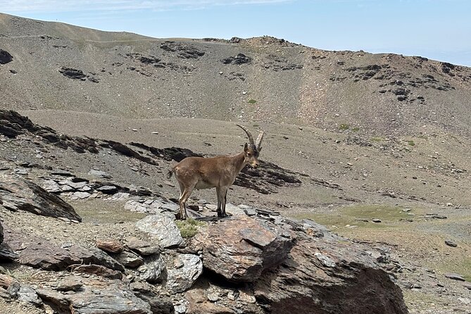
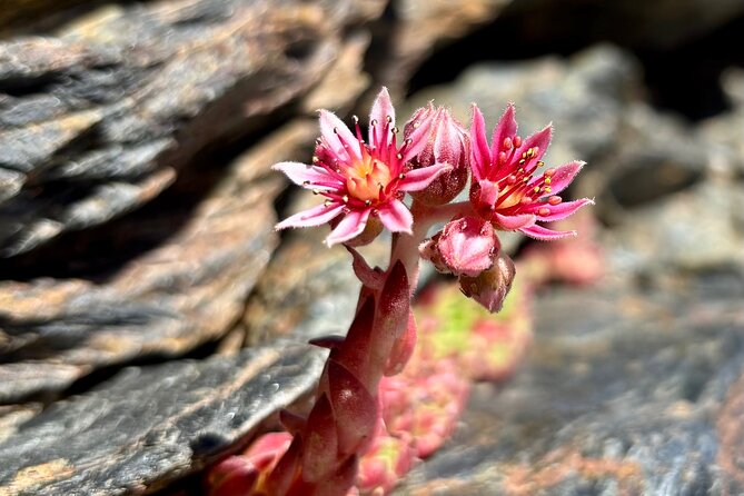
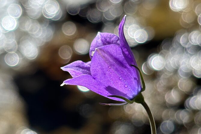
The valley gives the day its best sense of wildness. Water flows beside parts of the route, and flowers appear along the edges in season. The mountain plants include species found only in this high region. Your guide may also point out insects, birds arriving from Africa, mountain goats, cattle, sheep, horses, eagles, and vultures.
Wildlife sightings are never guaranteed, but mountain goats have been seen close to the route. The open slopes make it easier to scan for birds than it would be in a wooded setting. Bring patience and do not expect every animal to pose for a photograph.
Posiciones del Veleta and the Civil War fortifications
Partway through the hike, the route reaches Posiciones del Veleta. Old fortifications from the Spanish Civil War sit here, looking across the northern face of the Sierra Nevada.
This stop adds a human layer to a day otherwise focused on geology and wildlife. The positions are stark and exposed, and they help you understand how difficult life must have been in these mountains. Your guide can provide context about the site and the terrain around it.
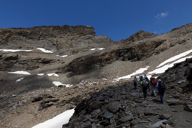
The views also begin to widen here. You can see snowfields that remain through much of the year, depending on the season, along with the rough ridges and upper slopes around Veleta. Even in warm weather, patches of snow may remain. Some outings have found snow well into summer.
The route is quieter than many day trips from Granada. The group may see very few other walkers, especially on less crowded parts of the route. That silence is one of the strongest reasons to choose this trip instead of staying near the ski area or a busy viewpoint.
The climb above 3,000 meters
The hike gains more than 3,000 feet from the starting point and reaches above 10,000 feet, or roughly 3,000 meters, at Tajos del Campanario. The exact effort depends on the route chosen, the weather, and how the guide adapts the day.
Expect two to three hours of uphill walking, including pauses, according to the practical descriptions of the route. The final incline is where less-conditioned hikers are most likely to slow down. The group normally stops several times, and the guide sets a pace that allows people to recover.
This is a good match for someone who exercises regularly through running, cycling, swimming, tennis, or similar activities. You do not need to be a mountaineer, and the terrain is generally only minimally technical, but you should be comfortable with a long walk, steep sections, loose rock, and high altitude.
The physical effort resembles a sustained fitness workout more than a casual country walk. If you are not used to hills, you may need frequent breaks. The guide can let you wait at good resting spots if you become too tired, with the group continuing and returning along the route.
Same region, a different park day:
- Tenerife: Teide National Park Sunset & Stargazing Tour
★ 4.2 · 3,812 reviews - Tenerife: Sunset and Stargazing at Teide National Park
★ 4.7 · 2,826 reviews - Teide National Park Sunset & Stargazing with Dinner (Star Safari)
★ 5.0 · 2,601 reviews - Teide National Park: Sunset & Stargazing Safari with Dinner
★ 4.6 · 2,115 reviews
Tajos del Campanario and the view north
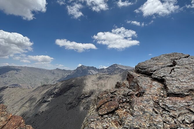
At the top of Tajos del Campanario, the reward is a broad view across the northern side of the Sierra Nevada. You can look toward Mulhacén, Veleta, and Alcazaba, three of the range’s most important peaks.
The setting is severe rather than lush. Expect bare rock, open ridges, snow patches, strong light, and wind. That starkness is part of the appeal. The high country feels far removed from Granada, even though the city is only a drive away.
This is where your packed lunch earns its place. Food and drinks are not included, so bring a sandwich, nuts, fruit, or other small food that is easy to carry. A picnic near the summit gives you time to enjoy the view without rushing back down.
The descent is easier on the lungs for many people, but loose rock can make it harder on the knees and ankles. Hiking poles help with balance, especially on steep or slippery ground. The operator has provided poles on many outings, but one account found that not enough were available for everyone. Contact the provider in advance if poles are important to you, and treat supplied equipment as a convenience rather than a guarantee.
The guides make the difference
The most consistently praised part of this outing is the guiding. Jaime is often the named leader, sometimes accompanied by his dog Kai. He has been described as calm, patient, supportive, and attentive to different fitness levels.
That style matters on a high-altitude hike. A guide who rushes can turn a beautiful day into a miserable one. Jaime has walked beside slower participants, adjusted the pace, answered questions about flowers, animals, rocks, and mountain history, and added more challenging sections when the group was ready.
Other guides, including Buitre, Jesús, and Duab, have also led the route. The experience can therefore vary somewhat by guide, but the supplied information points to a strong focus on safety, local knowledge, and group care.
The guides speak English, and some also speak Spanish. Jaime has been especially open to helping non-native Spanish speakers practice while walking. The tone is not a formal lecture. You get information in small portions, as the scenery or a plant gives the guide something to explain.
What to wear and carry
The operator says sneakers or trainers are acceptable, and some people have completed the hike in running shoes. Still, I would choose trail shoes or hiking boots with solid grip if you have them. Loose slate and uneven rock are the main reasons.
Bring:
- Comfortable hiking clothes
- A sweat-wicking base layer
- A light fleece or jacket
- A windproof or waterproof outer layer
- A hat and sunscreen
- At least 1.5 liters of water, and preferably closer to 2 liters
- Lunch and small snacks
- Trail shoes or hiking boots
- A small backpack
Warm clothing, gloves, hats, and rain ponchos have been loaned to people who needed them. The operator also says warm clothes and hiking poles can be provided. Equipment availability can vary, so do not arrive assuming boots or poles will definitely fit you. One person arranged boot rental but found the service was no longer operating, while another found only one borrowed pair in a suitable size.
Mountain weather can change quickly. Rain and wind have made the ascent tougher, even for people who arrived with boots and waterproof clothing. Pack for several conditions, not just the forecast in Granada.
Price, group size, and overall value
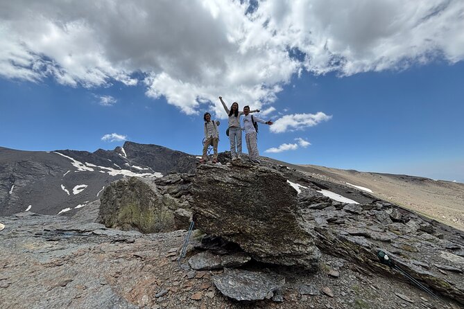
At $71.35 per person, the price includes private-vehicle transport from central Granada, an English-speaking UIMLA mountain guide, assistance and liability insurance, and a small group capped at eight people.
That is fair value if you want a properly guided mountain day without arranging transport to the trailhead yourself. The drive saves you from navigating the high road, and the small group allows the guide to respond to different speeds and fitness levels.
The price does not include food or drinks, so budget for your own picnic. It also pays for access to a much cooler setting, expert route management, and interpretation of the area rather than simply a ride to a viewpoint.
The experience is booked an average of 36 days ahead, and 99 percent of customers recommend it based on an overall 4.9 rating from 88 reviews. Those numbers suggest strong demand, so reserve early if your Granada dates are fixed.
Who should choose this hike?
I would choose this outing if you want a full day outside the city and enjoy exercise as part of sightseeing. It suits people who regularly walk hills or train through other cardio activities, including older hikers who remain active.
It can also work for a mixed group. One outing included a fit young adult and a less-fit 66-year-old, with the guide pacing the ascent to suit both. Another group included a couch potato and an avid hiker who were both able to enjoy the day.
That does not make the route easy. If you rarely exercise, dislike steep climbs, or struggle with high altitude, this may be too demanding. You can rest at points along the route, but you still need to return to the vehicle after several hours in the mountains.
The outing is also a good choice for solo visitors who want company without joining a large coach group. With a maximum of eight people, you get a social experience while keeping the day quiet.
Practical booking details from Granada
Pickup begins at 9:00 a.m. at Plaza de Mariana Pineda, and the activity finishes back at the same meeting point. The location is near public transport, though the included pickup and drop-off make local transport planning simple.
Confirmation arrives at booking. Free cancellation is available up to 24 hours before the start time. Poor weather can cancel the hike, in which case you are offered another date or a full refund.
The route depends on safe mountain conditions. That is a good policy for a high-altitude outing, where wind, rain, snow, and visibility can change the day quickly.
Should you book the Sierra Nevada hike?
Book it if you want mountain scenery with real physical effort, not a sightseeing trip that keeps you beside the vehicle. The glacial San Juan Valley, Civil War positions, snowfields, wildlife, and views toward Spain’s highest peaks create a memorable change from Granada.
You should also book it if a careful guide matters to you. Jaime and the other Sierra Nevada Guides leaders have shown they can support different abilities while keeping the day moving.
Skip it if you want an easy walk, have no interest in carrying lunch and water, or would be uncomfortable above 3,000 meters. For everyone else, this is one of the better ways to meet the High Sierra Nevada in a single day, with transport handled and the route explained along the way.
FAQ
Where does the hike begin?
The meeting point is Plaza de Mariana Pineda in central Granada. Pickup begins at 9:00 a.m.
Where does the hike finish?
The activity ends back at the meeting point in Plaza de Mariana Pineda.
How long does the experience last?
The outing lasts about seven hours. The walking portion is roughly six hours, though timing can vary with the group and conditions.
How high does the hike go?
You start at about 2,500 meters and climb above 3,000 meters toward Tajos del Campanario.
What fitness level is required?
A moderate level of physical fitness is recommended. Regular exercise such as running, cycling, swimming, or tennis should help, but the route includes steep uphill sections and thin air.
Do I need hiking boots?
Trainers are permitted, but trail shoes or hiking boots with good grip are more suitable for uneven rock and loose slate. Hiking boots are especially useful in wet or slippery conditions.
Are food and drinks included?
No. You should bring your own water, snacks, and lunch.
What happens if the weather is poor?
The activity may be canceled for safety. You will be offered a different date or a full refund. Free cancellation is also available if you cancel at least 24 hours before the start time.
Newest park tours we have reviewed in Spain
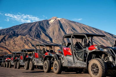
- Quad Tour Volcano Teide By Day in Teide National Park★ 4.0 · 80 reviews
- Timanfaya National Park: Evening Tour with Volcano Dinner★ 4.4 · 129 reviews
- Tenerife: Teide National Park and Volcano Buggy Tour★ 4.0 · 39 reviews
- Teide National Park Exclusive and private Tour★ 5.0 · 115 reviews
- Get to know the Teide National Park and the north of Tenerife on a private tour★ 5.0 · 63 reviews
- Teide National Park: Landscapes and Viewpoints Private Tour★ 4.7 · 52 reviews
- Private excursion to Teide National Park★ 5.0 · 129 reviews
- PRIVATE TOUR Teide National Park: Hiking and Stargazing★ 5.0 · 38 reviews
Spain National Park Tours, compared.
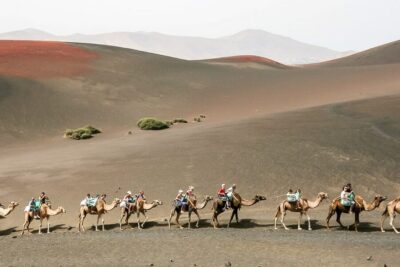
Timanfaya National Park Volcanic Craters Tour
Read our review →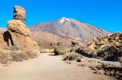
Teide National Park Full-Day Tour with Pickup
Read our review →
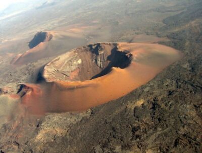
Arrecife/Playa Blanca: Timanfaya National Park Area Day Tour
Read our review →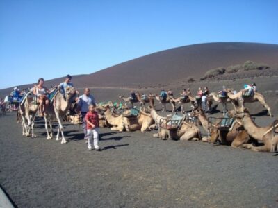
Jávea: Cala Tango and San Antonio Nature Reserve Kayak Tour
Read our review →Lists this park day appears in